About Nature Mapping Jackson Hole
Nature Mapping Jackson Hole (NMJH) is a community science initiative founded in 2009 by Meg and Bert Raynes and now supported by the Jackson Hole Wildlife Foundation (JHWF). NMJH seeks to obtain long-term, accurate...
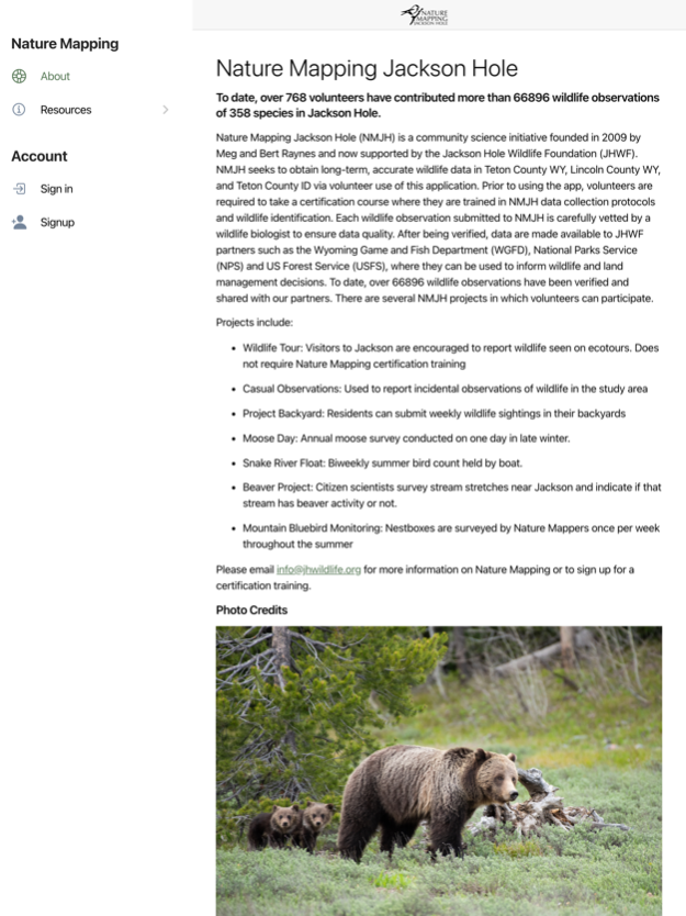
Nature Mapping Jackson Hole (NMJH) is a community science initiative founded in 2009 by Meg and Bert Raynes and now supported by the Jackson Hole Wildlife Foundation (JHWF). NMJH seeks to obtain long-term, accurate wildlife data in Teton County WY, Lincoln County WY, and Teton County ID via volunteer use of this application. Prior to using the app, volunteers are required to take a certification course where they are trained in NMJH data collection protocols and wildlife identification. Each wildlife observation submitted to NMJH is carefully vetted by a wildlife biologist to ensure data quality. After being verified, data are made available to JHWF partners such as the Wyoming Game and Fish Department (WGFD), National Parks Service (NPS) and US Forest Service (USFS), where they can be used to inform wildlife and land management decisions. To date, over 80,000 wildlife observations have been verified and shared with our partners. There are several NMJH projects in which volunteers can participate.
Projects include:
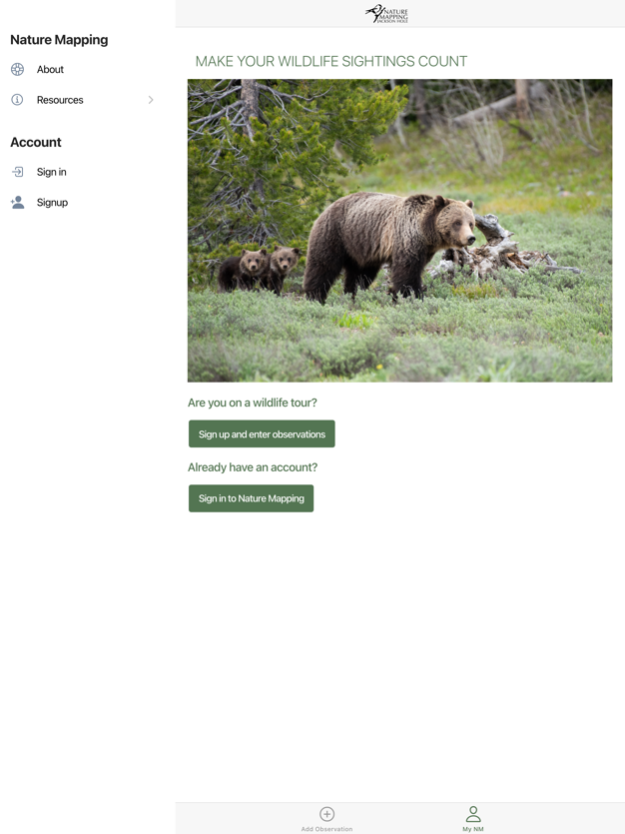
· Wildlife Tour: Visitors to Jackson are encouraged to report wildlife seen on ecotours. Does not require Nature Mapping certification training
· Casual Observations: Used to report incidental observations of wildlife in the study area
· Project Backyard: Residents can submit weekly wildlife sightings in their backyards
· Moose Day: Annual moose survey conducted on one day in late winter.
· Snake River Float: Biweekly summer bird count held by boat.
· Beaver Project: Citizen scientists survey stream stretches near Jackson and indicate if that stream has beaver activity or not.
· Mountain Bluebird Monitoring: Nestboxes are surveyed by Nature Mappers once per week throughout the summer
Please email
[email protected] for more information on Nature Mapping or to sign up for a certification training.
Jul 19, 2023
Version 2.4
Photo zoom fix
Previous Versions
Here you can find the changelog of Nature Mapping Jackson Hole since it was posted on our website on 2023-07-07 17:28:27.
The latest version is 2.4 and it was updated on 2024-04-19 19:23:06. See below the changes in each version.
Nature Mapping Jackson Hole version 2.4
Updated At: 2023-07-19
Changes: Jul 19, 2023
Version 2.4
Photo zoom fix
Nature Mapping Jackson Hole version 2.1
Updated At: 2023-05-31
Changes: May 31, 2023
Version 2.1
Bug fixes and improvements
Disclaimer
Official App Store Link
We do not host Nature Mapping Jackson Hole on our servers. We did not scan it for viruses, adware, spyware or other type of malware. This app is hosted by Apple and passed their terms and conditions to be listed there. We recommend caution when installing it.
The App Store link for Nature Mapping Jackson Hole is provided to you by apps112.com without any warranties, representations or guarantees of any kind, so access it at your own risk.
If you have questions regarding this particular app contact the publisher directly. For questions about the functionalities of apps112.com contact us.